Collection manager: Gordana Milaković, senior curator
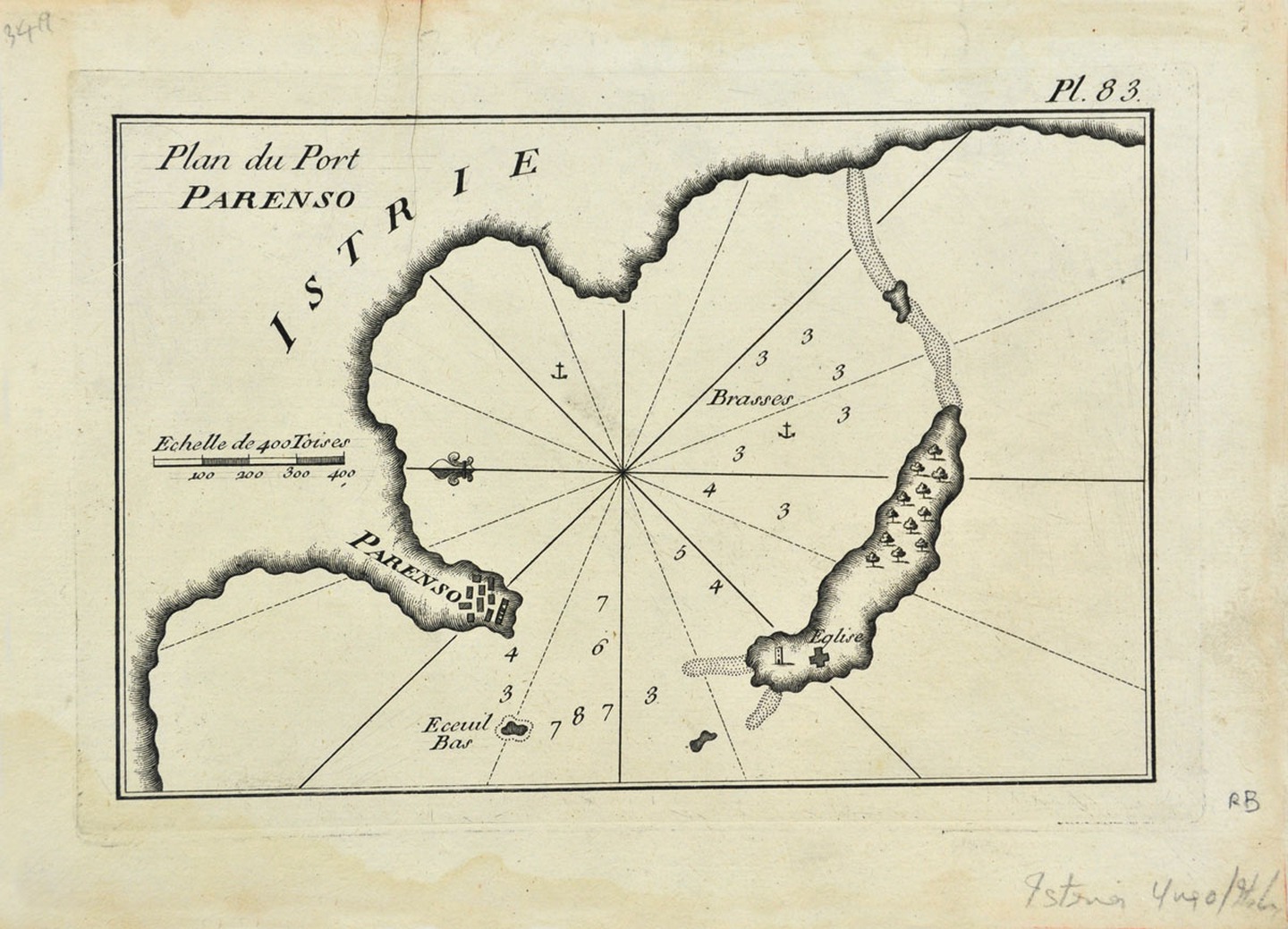
Types of objects: historical maps, military maps, ethnographic maps, route maps, hydrographic maps, atlases, harbour plans, city plans, views and print portfolios.
ANNOUNCE A VISIT
The holdings of the collection may be viewed upon prior announcement to the Museum on Tuesdays and Wednesdays from 12.00 - 14.30. Call +385 52 211 566 or mail: ppmi@ppmi.hr
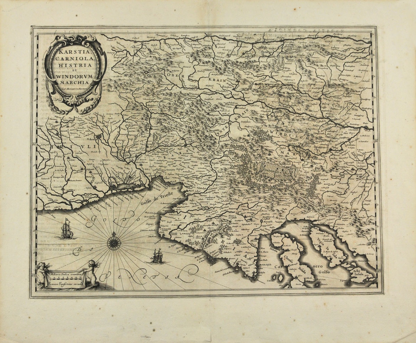
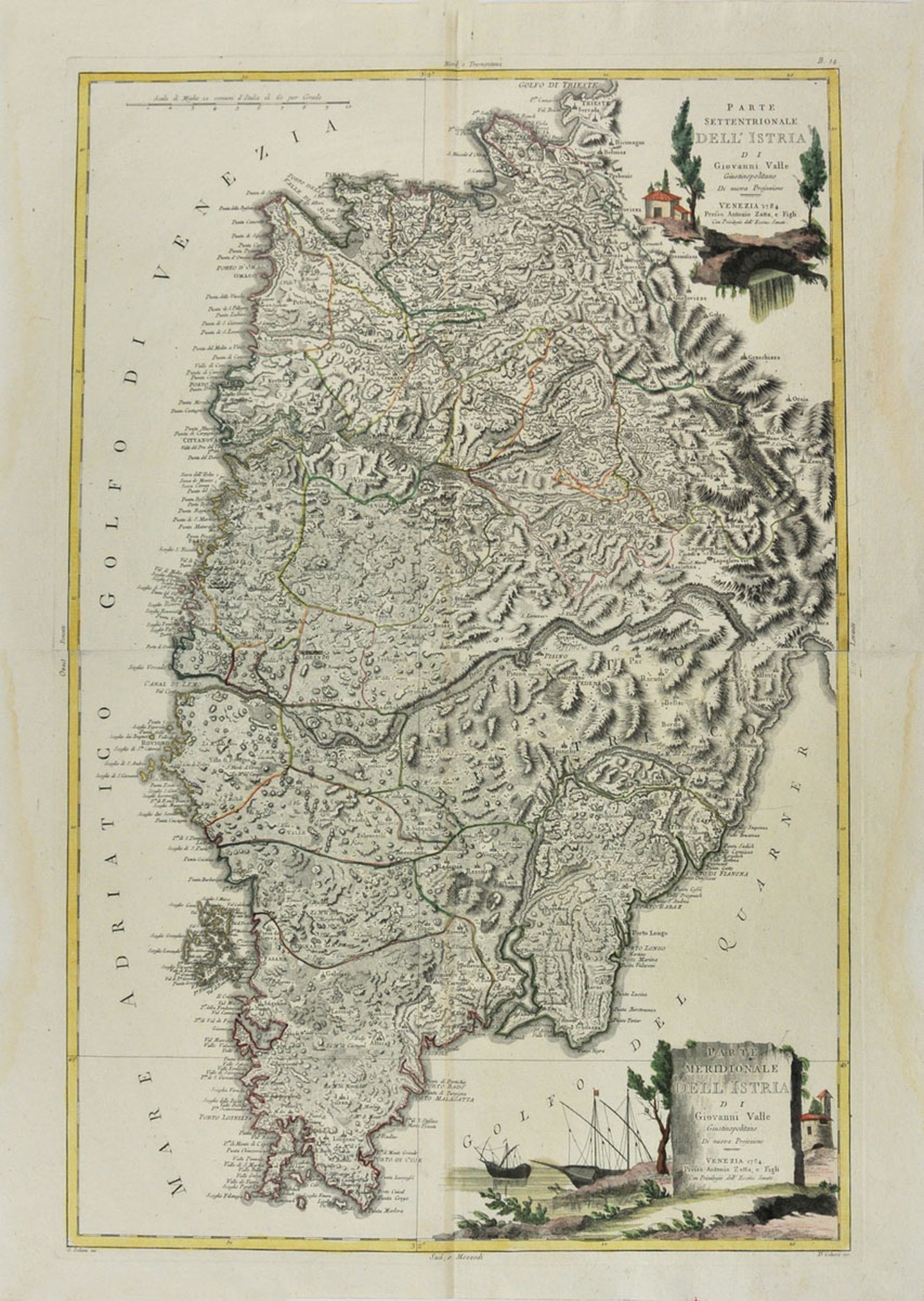
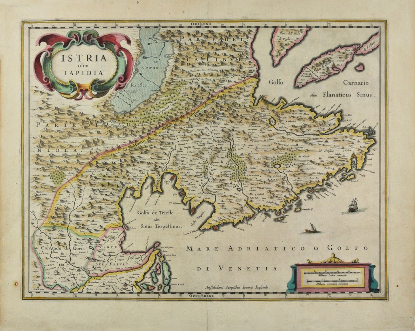
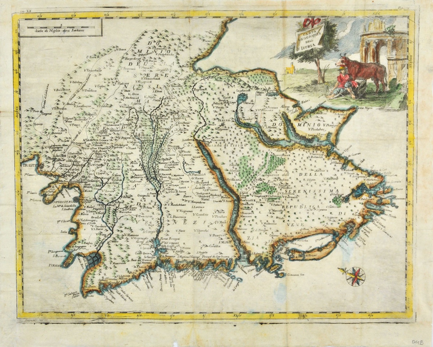
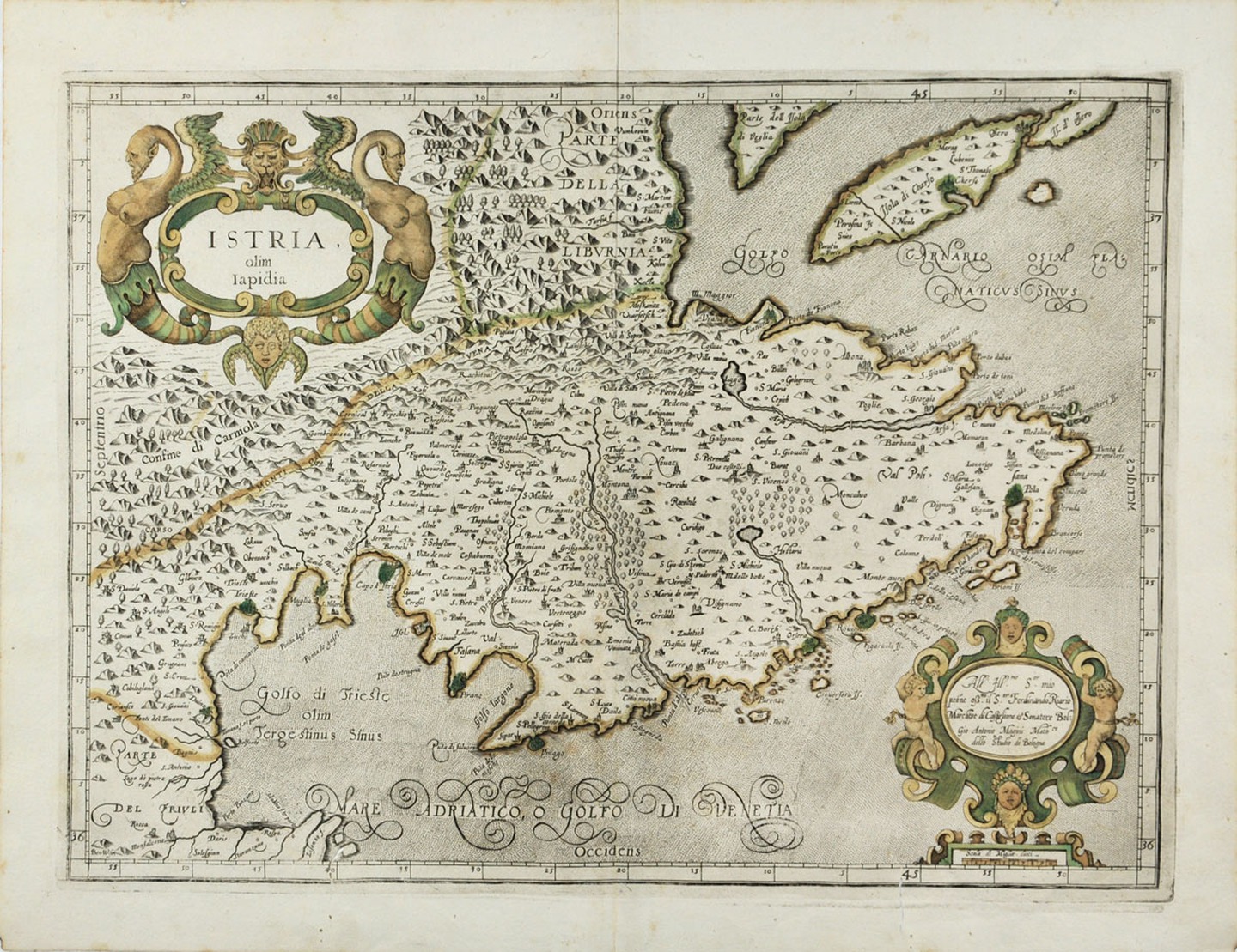
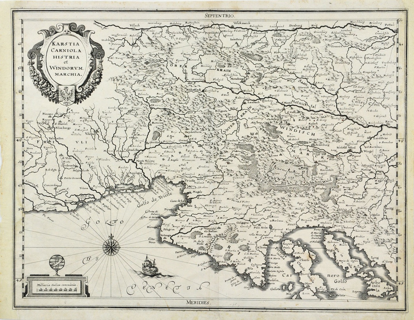
The cartographic collection mostly contains historical maps depicting the Istrian peninsula. Although the holdings of the collection are not large, they include objects important for the historical heritage of Istria ranging from the late 16th to the first half of the 20th century, some of which are extremely rare.
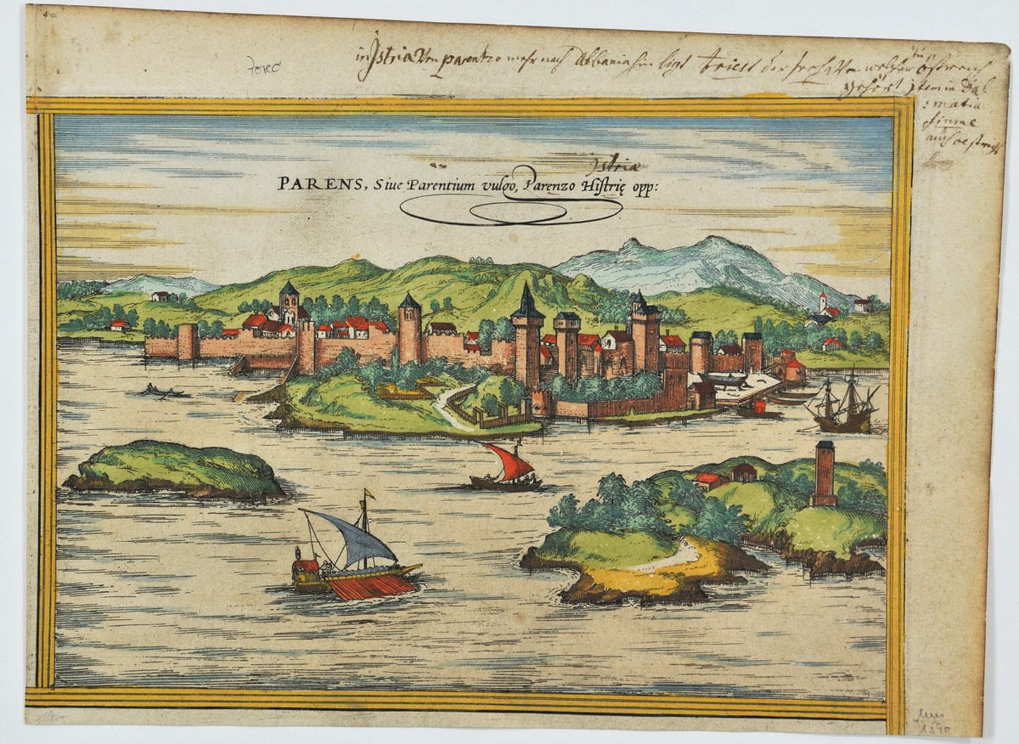
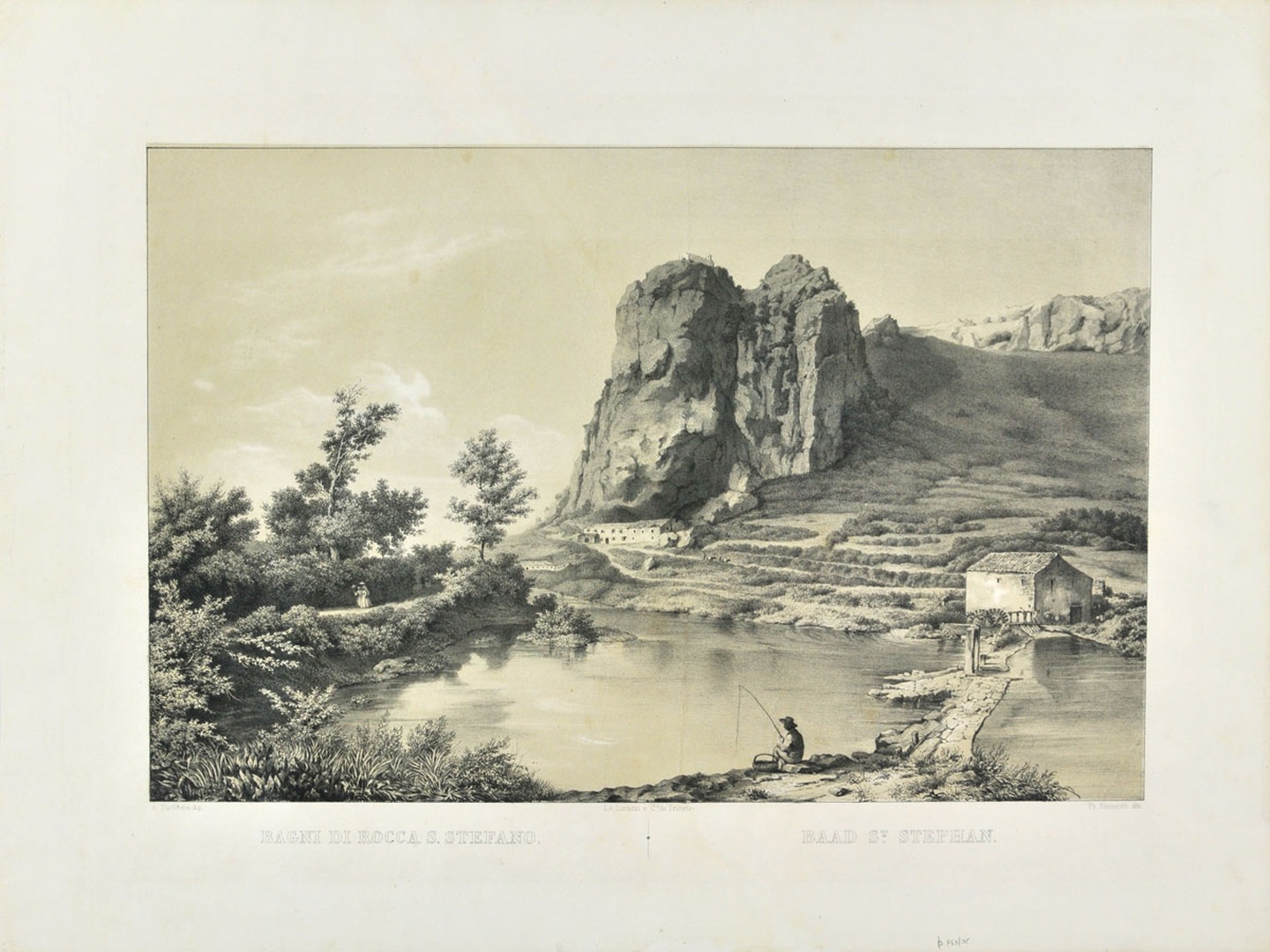
The collection conserves Valvasor’s views of Istrian villages and towns. The oldest item in the collection is a view of the city of Poreč by E. Reuwich dating from the beginning of the 16th century, published in Breydenbach’s Peregrinatio in terram sanctam.
The holdings include historical maps made by many important European cartographers: S. Münster, G. Magini, G. Salmon, G. Mercator, V. M. Coronelli, J. B. Homann, C. de Jode, C.F. Beautemps-Beaupré, A. Hirsvogelio and others.